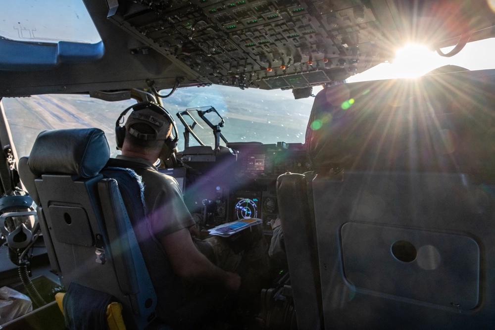
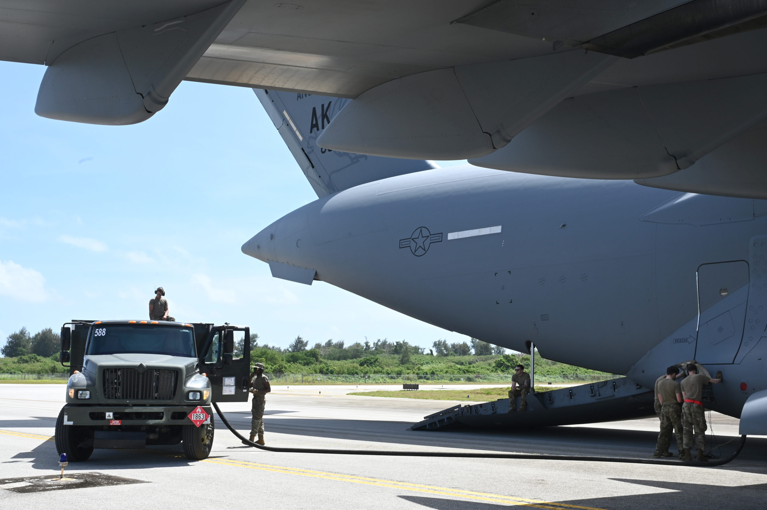
An Air Force C-17 transport jet recently tested a new technology that could help aviators stay on course even if the satellite-based Global Positioning System (GPS) that much of modern-day aviation relies on is compromised.
The successful demonstration held last month is a promising development at a time when many national security experts worry that GPS navigation could be disrupted by signal jamming, cyberattacks, or even kinetic anti-satellite weapons.
Currently, many military and civilian aviators rely on a combination of GPS and inertial navigation, Air Force C-17 pilot Maj. Kyle McAlpin told Air & Space Forces Magazine. McAlpin is the Air Force liaison for the Magnetic Navigation (MagNav) project being pursued by the Artificial Intelligence Accelerator, a research pipeline managed by the Air Force and the Massachusetts Institute of Technology.
Inertial navigation systems take an aircraft’s initial position and uses velocity, acceleration, and the laws of physics to determine where the aircraft is at any point in time, McAlpin explained. The advantage of such systems is that they do not depend on external signals, so they cannot be jammed. But the disadvantage is that the system grows less accurate over time, which can be a problem over long flights.
Many aviators today use GPS to update the inertial navigation system and stay on course. Without GPS, aviators must rely on other ways to update the inertial navigation system, and some of those methods go back centuries.
One of those methods is the magnetic compass, but anomalies in the Earth’s crust could tell aviators more than just the general direction of north. When mapped, the different levels of magnetization generated by each anomaly can help navigators figure out where they are. The trouble is that performing magnetic navigation in real-time is very difficult, especially when modern aircraft are filled with lights, transmitters, computers, and other devices that generate electromagnetic noise and disrupt calculations. One of the central challenges of magnetic navigation is sorting a clean signal through that noise to get an accurate read of the Earth’s magnetic field.
Artificial intelligence may have finally made that possible. The MagNav project created an open-source Magnetic Navigation Open Challenge to build a machine learning model for removing aircraft electromagnetic noise from the total magnetic field. Developing algorithms to sort out that noise was challenging, McAlpin said—and so was figuring out a way to run those algorithms not on a supercomputer in a lab, but on a laptop aboard a moving aircraft.
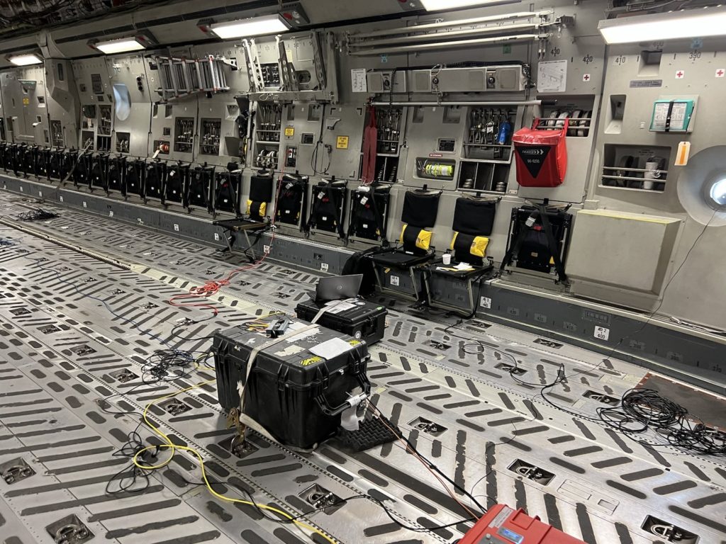
The MagNav team worked with MIT’s Lincoln Laboratory, the Air Force Research Laboratory Sensors Directorate, the Air Force Institute of Technology Autonomy and Navigation Center, and the Software-as-a-service company SandboxAQ to develop a quantum magnetic sensor that could be flown aboard a C-17. The chance to demonstrate the system came along with Exercise Golden Phoenix, a nearly two-week exercise where Airmen, Marines, and Sailors practiced moving people and cargo to locations in California and Nevada to hone the mobility operations that might be required in a war against China or Russia.
McAlpin flew aboard the C-17 during the test sorties from Travis Air Force Base in northern California to Edwards Air Force Base farther south. The flights, held from May 11 to May 15, marked the first time a Department of Defense aircraft flew with that kind of navigation technology on board. The system worked thanks to previous flights that had been used to collect data for training its artificial intelligence.
Though the test was successful, it could be a long way to go before military aviators fly with MagNav systems in their cockpits. The current process for creating the magnetic maps that MagNav depends on is often time- and resource-intensive, said McAlpin, so there could be an opportunity to crowdsource future efforts at magnetic mapping.
Besides mapping, another challenge is integrating the MagNav system onto an aircraft, especially since magnetic navigation may not be the only alternative PNT system coming to aviators. McAlpin envisioned a system where MagNav complements other methods such as celestial navigation, signals of opportunity, or terrain-relative navigation.
Integrating these methods together may result in a diversified navigation system that has no single point of failure. And aircraft could be just the beginning, as an Air Force press release noted future MagNav experiments could take place aboard submarines, hypersonic glide vehicles, and drones.
“The next fight demands unassailable positioning and navigation,” McAlpin said in the release. “We can achieve that by augmenting GPS with alternatives. … This week, we took an important step towards making one of those modalities a reality by transitioning MagNav from the minds of MIT and MIT Lincoln Laboratory onto an operational aircraft, blazing the trail for our sister services and expansion to new platforms.”
