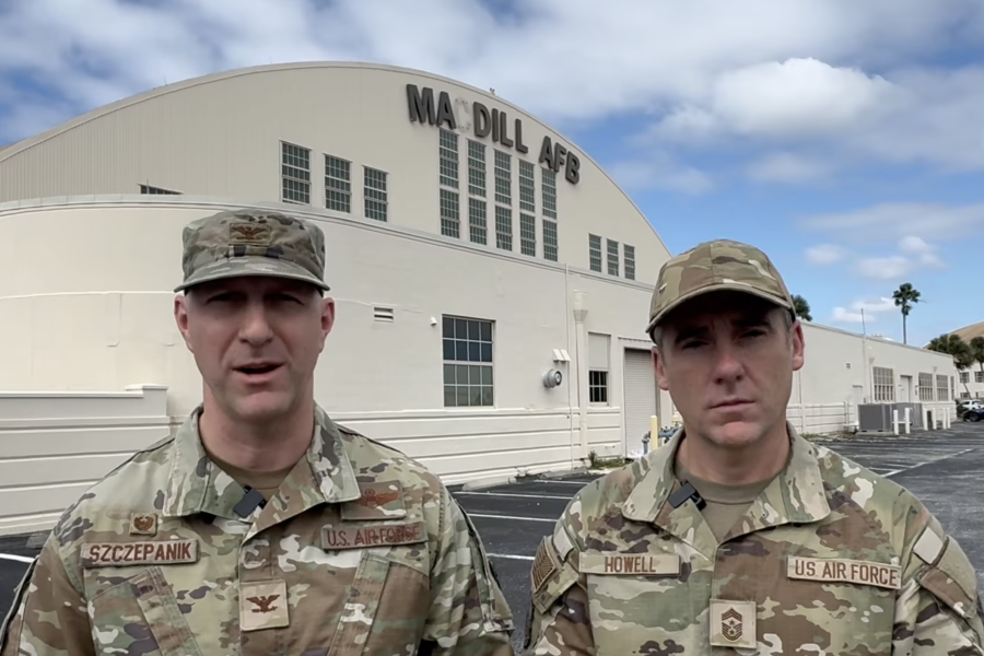
A “reverse storm surge” spared MacDill Air Force Base, Fla., from the catastrophic flooding predicted to accompany Hurricane Milton, but assessment crews are en route to survey the damage inflicted chiefly by high winds. No firm estimate of when the base will be back up to operational status is yet available.
Milton came ashore at Siesta Key, roughly 60 miles south of MacDill, at about 8:30 p.m. Oct. 9, as a Category 3 hurricane with winds up to about 120 miles per hour. The storm killed at least four people across Florida and whipped up 19 or more tornadoes, which caused significant regional damage to structures and knocked out much of the power grid; roughly a third of the state is without electricity. State and local officials said they expect the death toll to rise.
But in the Tampa Bay region, where MacDill is located, winds caused a phenomenon called “reverse storm surge,” which actually pulled water from the bay instead of hurling a wall of water onto the land adjacent to it. The predicted surge of up to 15 feet would have thoroughly inundated MacDill, which juts out into the bay and where the highest point is only 13 feet above sea level. A nearby airport recorded top wind speeds of 90 miles per hour.
“We were very lucky,” MacDill spokesperson Kaitlin Butler told Air & Space Forces Magazine. With the reverse storm surge, “the water level actually went down in the bay. … Most of what we’re seeing is downed trees, and they seem to have missed falling on the homes in base housing.” There were no casualties and base roads are largely passable, she said.
While some “critical functions” on base have generators, most of MacDill operates off the local grid, Butler said. Once power is restored, “mission critical” personnel are back, and roads are deemed safe, there will be a foreign object sweep of the flightline and after that, the base’s KC-135s can return, she said.
Still, Tampa received 18 inches of rain, overloading the storm drainage system. Mayor Jane Castor, at a press conference Oct. 10, said that the wastewater system could back up into the water supply, and urged residents not to use tap water until further notice.
There were “no impacts expected” from the storm at Eglin, Hurlburt, or Tyndall Air Force Bases elsewhere on Florida’s west coast, an Air Force spokesperson said. Seven F-16s were flown out of Homestead Air Reserve Base ahead of the storm, and damage assessments are underway there. Damage is similarly being gauged at Patrick Space Force Base and Cape Canaveral Space Force Station on Florida’s east coast; some aircraft there were flown out ahead of the hurricane there, as well, but no personnel evacuations were ordered.
“Our Hurricane Recovery Team is enroute to MacDill AFB to begin assessing, identifying and neutralizing hazards,” base leaders said on Facebook. MacDill “remains closed at this time and personnel who are not assigned to the HRT should not attempt to access the installation until further notice. Safety of our personnel is our number-one priority as we begin our assessments. We will continue to provide updates as quickly as possible.”
MacDill flew 13 KC-135s off base in the days leading up to the storm’s landfall, and these “remain evacuated at McConnell AFB (Kans.),” while some others remain hangered on base and others are deployed elsewhere on operational missions, an Air Force spokesperson said. Homestead sent seven F-16s to San Antonio, Texas.
Personnel who live on MacDill were ordered to leave no later than 4 p.m. Oct. 9, and the base was closed at 5 p.m.
“Approximately 185 base personnel are operating out of Raymond James Stadium Emergency Operations Center,” the spokesperson said. They are coordinating with Air Forces Northern and the Civil Air Patrol to conduct “flyovers at priority targets to gain aerial fidelity of damage following the storm.”
Regional airports—Orlando International; Palm Beach International; Sarasota Bradenton International; Southwest Florida International, and St. Pete-Clearwater International—all remain closed while damage assessments are conducted, according to the FAA.
Milton moved swiftly across Florid and exited the state early Oct. 10, heading east into the Atlantic Ocean, still as a Category 1 hurricane. No further landfalls are expected, but the National Oceanographic and Atmospheric Administration cautioned that storm surges remain possible along the coasts of Florida and Georgia and a “risk of considerable urban flooding” persists across the southeast U.S., which is still recovering from Hurricane Helene.
