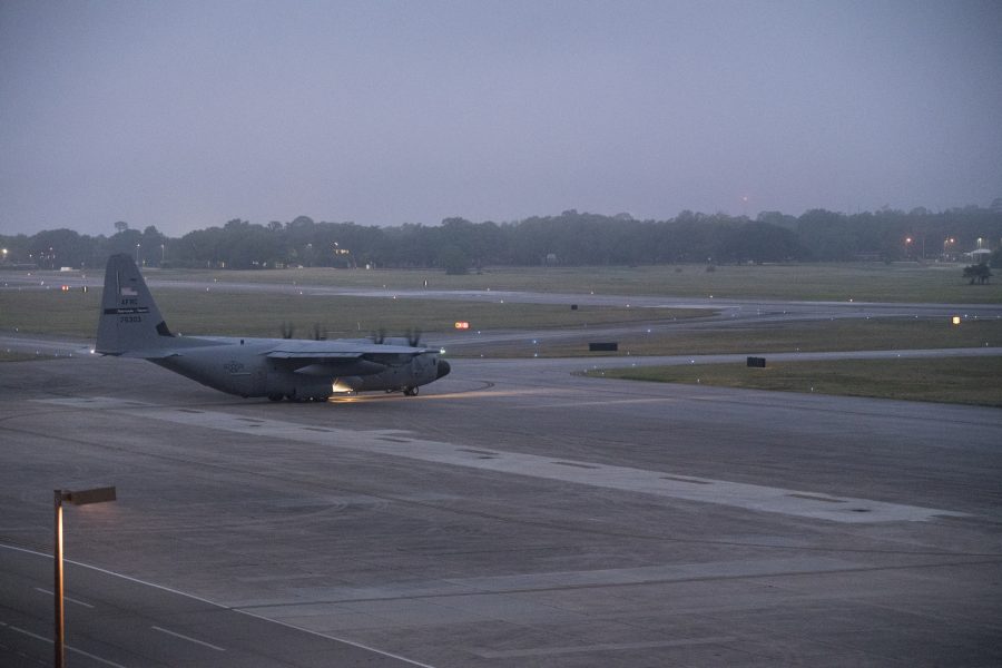
The Hurricane Hunters got an early start to the 2020 Atlantic season, flying into Tropical Storm Arthur as it formed in the Atlantic on May 16.
Arthur approached the Carolinas on May 18, making this the sixth consecutive year there has been a named storm in May, before the hurricane season officially starts on June 1.
The Reserve 53rd Weather Reconnaissance Squadron’s WC-130J flew into the storm as it approached the Bahamas, providing weather data to the National Hurricane Center to improve its forecast models, Lt. Col. Anthony Wilmot, the squadron’s director of operations, said in a release.
“Mother Nature doesn’t operate on a calendar, so this is a reminder to always be prepared,” 403rd Wing Commander Col. Jeffrey Van Dootingh said in the release. “On that note, the 53rd WRS is prepared, ready, and able to meet these storm taskings to provide valuable information to the NHC, which can help save lives and property.”
Initial flights over the weekend were conducted at a low level, between 500 to 1,500 feet, to determine if the storm has a closed circulation. Once the system becomes a tropical storm or hurricane, the WC-130J flies at a higher altitude and through the eye of the storm to find the low-pressure center, releasing dropsondes to collect data on the storm, according to the release. The National Weather Service said the storm had sustained surface wind speeds of more than 39 miles per hour as it approached the Outer Banks.
