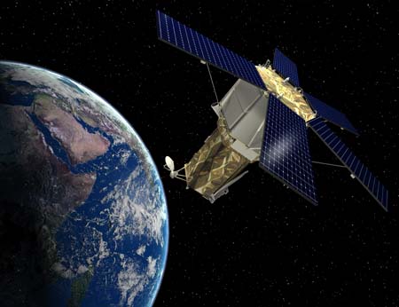
 The high-resolution commercial Earth-imaging satellite known as GeoEye-2 has completed its system requirements review, Lockheed Martin announced Tuesday. The terrestrial review “effectively demonstrated the advanced state of our GeoEye-2 design and how we can significantly improve the quality and quantity of commercial space-based imagery,” said Allen Anderson, Lockheed’s GeoEye-2 program director. Lockheed Martin is building the GeoEye-2 spacecraft for a company actually called GeoEye that’s headquartered in Dulles, Va. On Aug. 6, the National Geospatial-Intelligence Agency awarded GeoEye a contract worth up to $3.8 billion, under the agency’s new EnhancedView program. Under the terms of the deal, the company will provide the US intelligence community and Defense Department with “critical geospatial situational awareness and global security information” through its fleet of several imagery satellites. This should include Geo-Eye-2, which is projected for launch in late 2012.
For the Air Force and Space Force, an influx of additional resources could be an opportunity to accelerate a massive modernization portfolio and ramp up aircraft and satellite production, defense analysts and former officials told Air & Space Forces Magazine.

