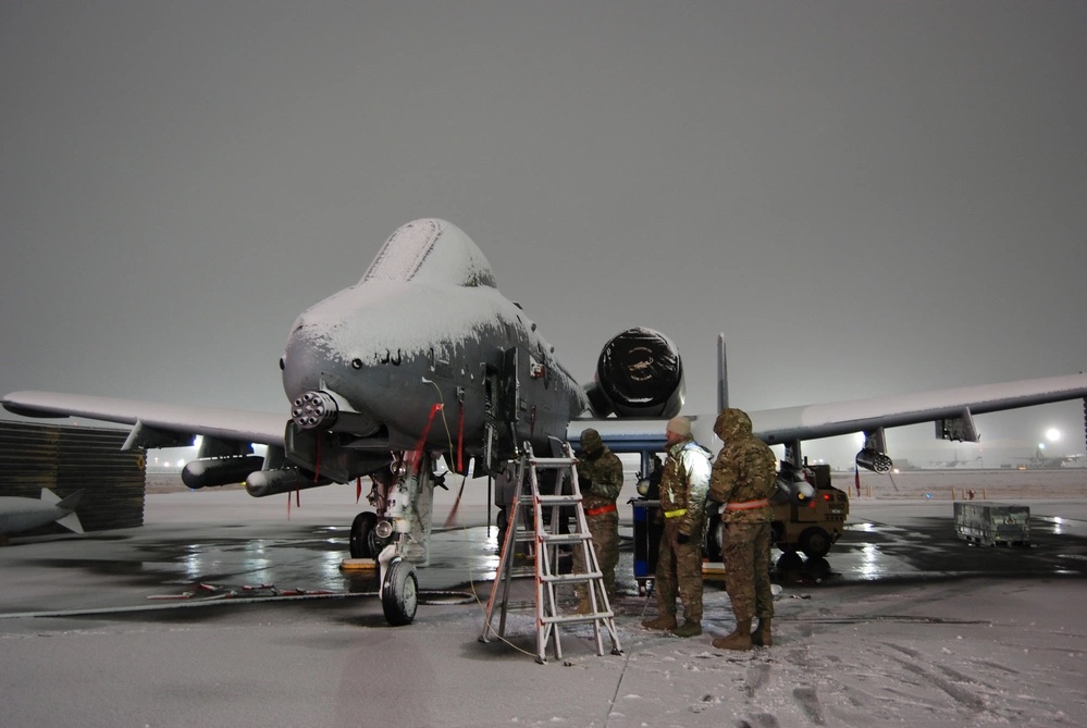
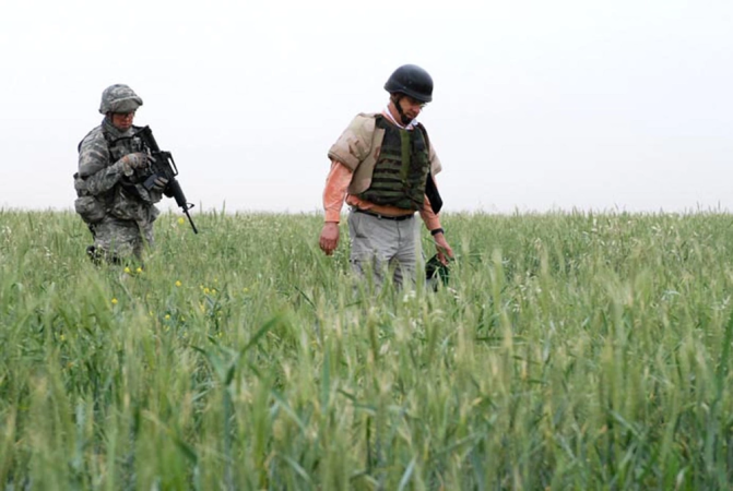
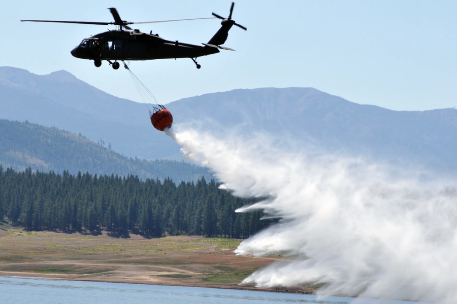
From flooding in North Carolina to droughts in East Africa, changing water cycles exacerbated by climate change are driving instability around the world. Even in peacetime, mud or rain can slow troop movements, cancel sorties, and generally make life more difficult for U.S. military leaders.
But a new tool launched late last month aims to give leaders across the government better information at a faster tempo to predict and manage water-related risks when planning military operations, disaster response, environmental monitoring, resource management, and more.
The Global Hydro-Intelligence (GHI) system takes information from a wide range of sources, including satellites, ground-based sensors, and climate models, to give planners a “comprehensive picture of global water dynamics,” Lt. Col. Mickey Kirschenbaum, a public affairs officer for weather force management at Air Force Headquarters, told Air & Space Forces Magazine.
If it gets wet, it’ll likely be in the GHI system, which aims to provide accurate and timely information on soil moisture, snow cover, vegetation health, precipitation, and many things in between, both in the short term and the long run.
“GHI-based products and services will, for the first time, establish a routinely available source of global water assessments spanning near-real-time analyses to future projections,” Col. Patrick Williams, director of weather at Air Force Headquarters, said in a Nov. 15 press release. “This will arm warfighters, planners, and decision makers with assessments of surface hydrology features and their potential effects across time scales.”

Current systems combine three main approaches, Kirschenbaum explained:
- traditional hydrological models, which analyze historical data and statistics to forecast floods and droughts but are limited by ground-based data quality
- Satellite-based observations that provide global water cycle data but are not ideal for real-time military decisions
- Regional forecasting systems that integrate local ground observations, and meteorological models to assess water-related risks in specific geographical areas
The problem is that none of those three approaches were designed with military operations in mind. GHI aims to bring in data from many sources, then use “real-time data processing and analytics” to produce timely information for commanders.
The system will also use machine learning and advanced modeling techniques to make more accurate predictions of future floods, droughts, and other water events. And it’s all designed to be user-friendly for non-experts.
“Unlike many regional systems, GHI offers global coverage across all time-scales, making it a valuable tool for military operations that span multiple countries and regions,” Kirschenbaum said.
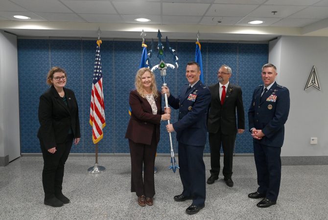
It’s a team effort: representatives from the Air Force, NASA, and the U.S. Army Corps of Engineers all took part in an Oct. 30 ceremony at the Pentagon celebrating GHI’s initial operational capability. The Navy, the National Geospatial-Intelligence Agency, and Oak Ridge National Laboratory also contributed to the project.
Each agency has something to offer: for example, NASA’s Land Information System plays a key role assimilating data to create terrestrial hydrology models. Dr. Jerry Wegiel, NASA’s principal investigator for GHI, said the new system will give the government a first-of-its-kind trusted information set about the movement of water, according to the press release.

GHI comes at a key moment as the Air Force aims to bring weather forecasting back into operations planning, a muscle group that atrophied during the Global War on Terror.
“The way weather is used today, we’re an obstacle,” Williams told Air & Space Forces Magazine in July. “Before the pilot takes off, we’ll tell them what conditions they’ll see, which impacts how much fuel they need, how many bombs they can carry, and how to get back safely. [But] we can do so much more than that.
“We can purposely force the adversary into situations that they don’t want to be in where they have to pick between a bad choice and a worse choice,” he said.
That could mean sending U.S. bombers in behind a storm to attack an enemy airfield, or predicting when atmospheric conditions limit the radar systems used to guide enemy surface-to-air missiles.
Like any weapon system, it pays to have a better weather knowledge system than the other guy. The textbook example is D-Day in 1944, when Allied planners took advantage of a break in the storm that German forecasters missed. But weather forecasting requires powerful computers, talented operators, and quality data, the last of which is particularly tough as only two of the military’s 60-year-old weather satellites are currently operational.
“Not having weather satellites up there is a huge, huge problem,” Williams said.
New satellites for the Pentagon’s secure use would be the ideal solution, but GHI helps close the gap by integrating with other government agencies and making their water data available more quickly.
“We are extremely excited for the role that GHI is going to play in future operational planning and the enhanced situational awareness it’s going to bring to the fight,” Maj. Gen. John Klein Jr., Air Force deputy chief of staff for operations, said in the press release.

Faster data in greater quantities is important when climate change is disrupting weather patterns, which in turn disrupts human patterns. Drought is one example: in a March report, the United Nations said water deficits can be linked to 10 percent of the increase in migration worldwide.
“This displacement can, in turn, contribute to water insecurity by placing added strain on water systems and resources in settlement locations, thereby fueling social tensions,” the UN report states. “This water scarcity can increase the risk of conflict.”
Better, faster information could help generate policies to mitigate that risk, “allowing decision-makers and diplomacy to have a greater effect before crisis turns to violence and the armed forces are called,” the press release explained.
Still, GHI is designed to address a wide range of applications beyond anticipating water-induced conflicts or humanitarian crises, Kirschenbaum said. Other areas include environmental monitoring and resource management.
“The system’s ability to integrate diverse data sources and provide real-time analytics makes it a versatile tool for various stakeholders, including government agencies, environmental organizations, and international bodies, to make informed decisions across multiple domains,” he said.
